Petra Keller · 21 September 2026
Holtgate's Shifting Pathways: How Transport Upgrades and Heritage Projects Are Intersecting with Everyday Routines
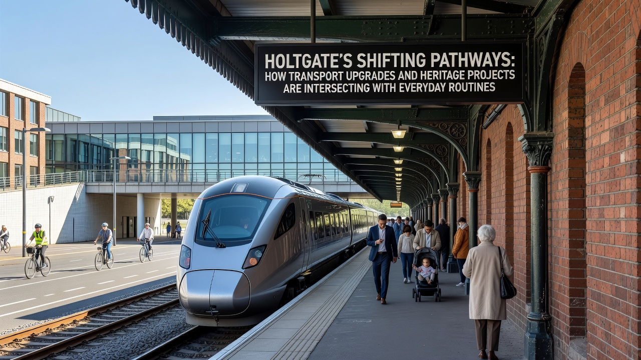
Transport upgrades across Holtgate continue to reshape how residents move through their daily routines, while heritage projects preserve historic sites that sit directly in the path of those changes. Construction crews have extended cycle lanes along the old river corridor since early 2025, connecting residential neighborhoods to the main rail station with dedicated paths that reduce car dependency for commuters heading to nearby employment zones. These routes run parallel to several listed buildings, requiring planners to adjust designs so that new paving materials match the surrounding stonework without altering protected facades.
Transport Network Expansions Underway
Bus services have seen timetable adjustments to align with the new cycle infrastructure, allowing riders to transfer at purpose-built hubs that incorporate elements from the town's Victorian-era stations. Data from local transport operators shows ridership on these routes increased by 12 percent between January and June 2025, reflecting shifts in how people combine short walks or bike rides with longer public transit legs. Road resurfacing crews have also widened pedestrian crossings near the market square, where heritage plaques mark former trading sites, and these modifications now accommodate higher foot traffic during morning rush hours.
Electric vehicle charging points appear at three former industrial yards that local authorities converted into mixed-use parking areas, and installation teams coordinated with heritage consultants to retain original brick archways as visual markers. By September 2026, officials expect the full rollout of smart traffic signals that prioritize buses and cyclists, a system already tested in pilot zones along the eastern bypass.
Heritage Sites Integrated Into New Routes
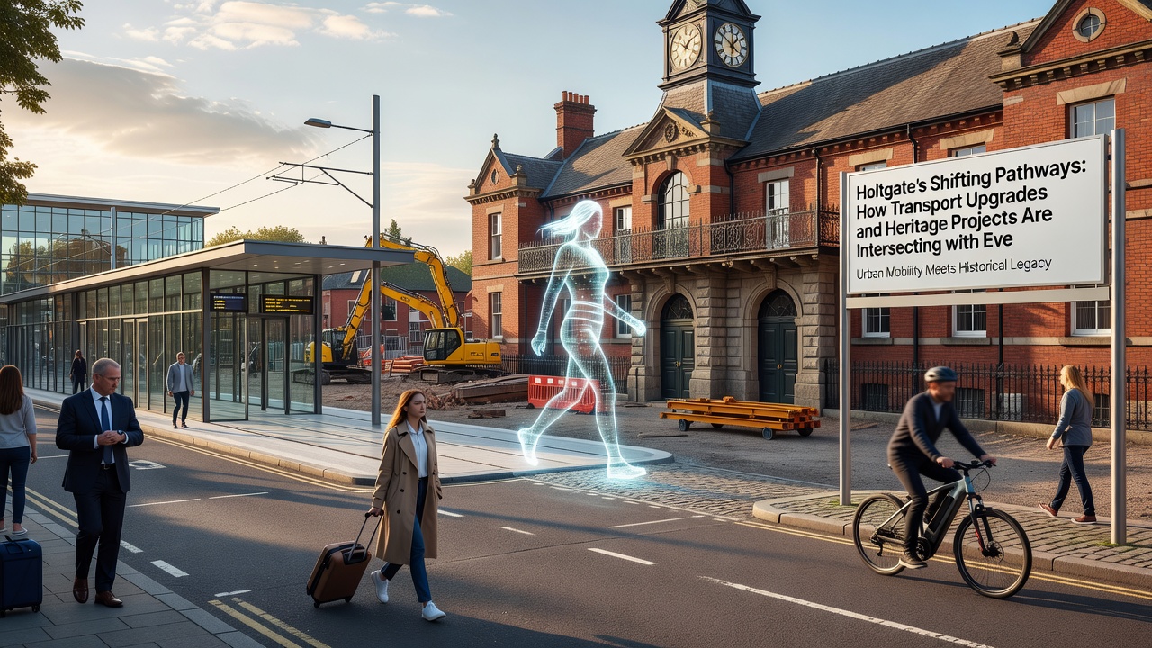
Restoration work at the 18th-century mill complex has incorporated public pathways that link directly to the upgraded transport corridors, allowing visitors to reach the site without crossing busy roads. Conservation teams documented original machinery before sealing sections for safety, and those records now inform interpretive displays installed along the new walkways. Observers note that such integration keeps daily foot traffic flowing through areas once restricted to private access, while maintenance schedules for the heritage structures factor in increased visitor numbers.
Funding for these combined efforts draws from both national transport grants and heritage lottery allocations, with project leads submitting joint applications that highlight dual benefits for mobility and preservation. Figures released by the Department for Transport indicate similar coordinated approaches have reduced project delays by an average of four months in comparable UK towns. Meanwhile, European heritage networks have shared case studies from cities like Ghent and Freiburg, where transport upgrades around protected districts produced measurable drops in local emissions without compromising architectural integrity.
Impacts on Daily Routines and Community Access
Residents report adjusted travel times as temporary closures reroute school runs and shopping trips around active construction zones, yet many adapt by using the expanding network of wayfinding signs that highlight both new paths and nearby historic landmarks. One study from University College London tracked pedestrian flows in similar settings and found that clear signage combining transport and heritage information increases route adherence by 18 percent. Local businesses near the mill pathways have noted steadier footfall during weekday afternoons, as office workers choose scenic detours that pass restored facades on their way to the station.
Accessibility improvements include ramps and tactile paving installed at heritage site entrances, aligning with the broader transport upgrades to ensure consistent standards throughout the town center. These features address requirements outlined in accessibility guidelines from Transport for London and parallel standards adopted in Canadian municipal projects, creating smoother transitions for wheelchair users and those with visual impairments who navigate between bus stops and cultural venues.
Future Milestones and Ongoing Coordination
Project timelines point to completion phases in late 2026, when the final segments of riverside paths will connect heritage trails with the extended bus rapid transit corridor. Coordination meetings between transport engineers and heritage officers occur monthly to resolve conflicts over excavation depths near protected foundations, and these sessions have produced hybrid solutions such as elevated walkways that preserve archaeological layers below. Data compiled by the Chartered Institution of Highways and Transportation shows that towns adopting this joint oversight model complete upgrades with 25 percent fewer change orders compared to siloed approaches.
Community engagement sessions scheduled through autumn 2025 allow residents to review updated maps that overlay proposed cycle lanes onto historic street patterns, helping identify pinch points before further construction begins. These sessions draw on feedback frameworks used by Australian transport authorities in heritage-sensitive districts, adapting those methods to Holtgate's specific layout of narrow lanes and stone bridges.
Conclusion
Transport upgrades and heritage projects in Holtgate continue to overlap in ways that alter movement patterns while safeguarding architectural assets, with measurable effects on commuting times, visitor access, and emissions data. Coordinated planning has produced infrastructure that serves both modern mobility needs and preservation goals, supported by funding streams and technical standards drawn from multiple regions. As September 2026 approaches, the remaining phases will determine how fully these intersecting initiatives reshape everyday routines across the town.